
Latest Version
T. Partl
Travel & Local
Windows
Free
9wzdncrfj0f2
Report a Problem
More About GeoPhoto - Photo Map & GPS Geotagging
The Challenge of Scattered Memories: Why We Need Media Geotagging
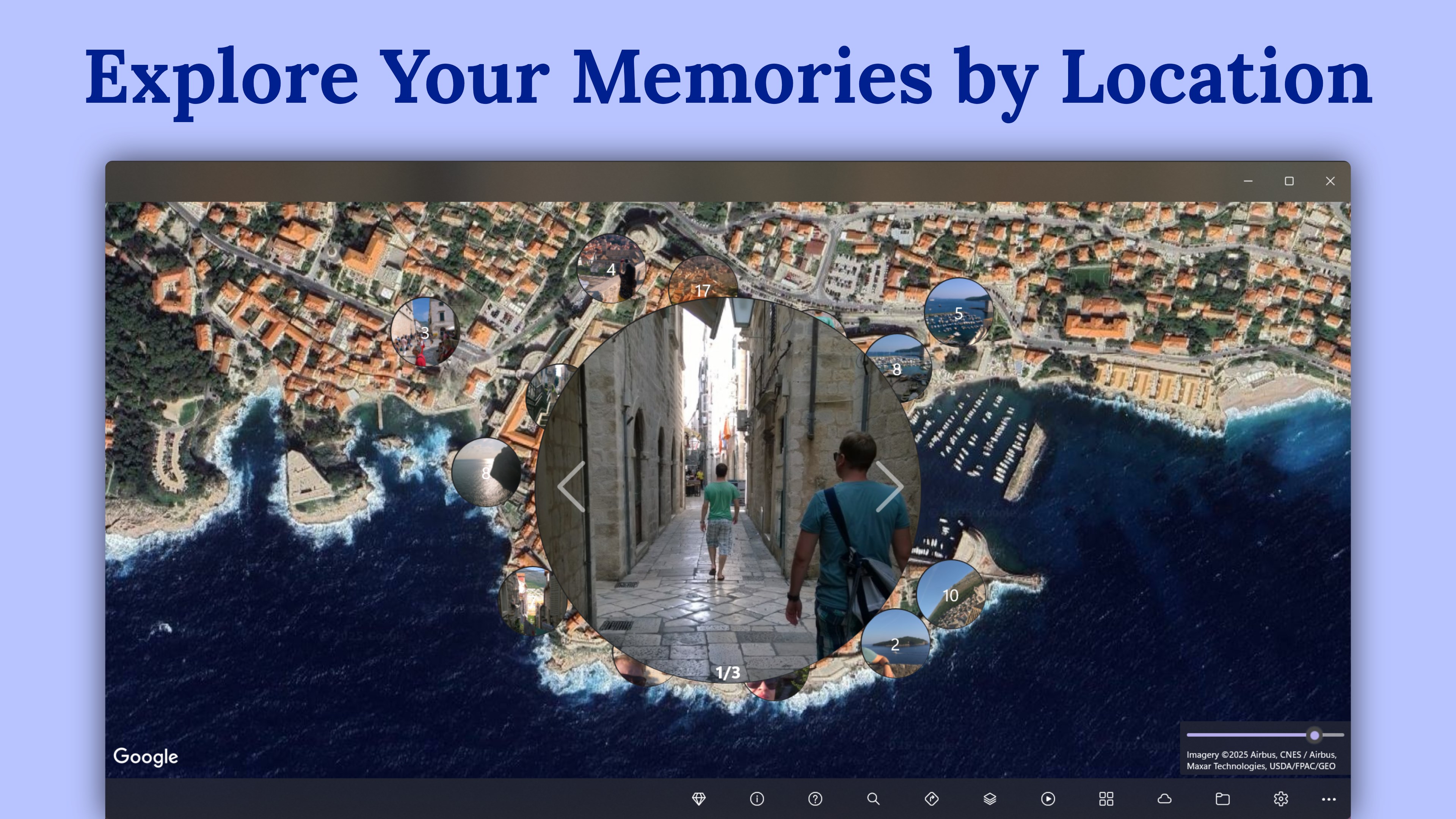
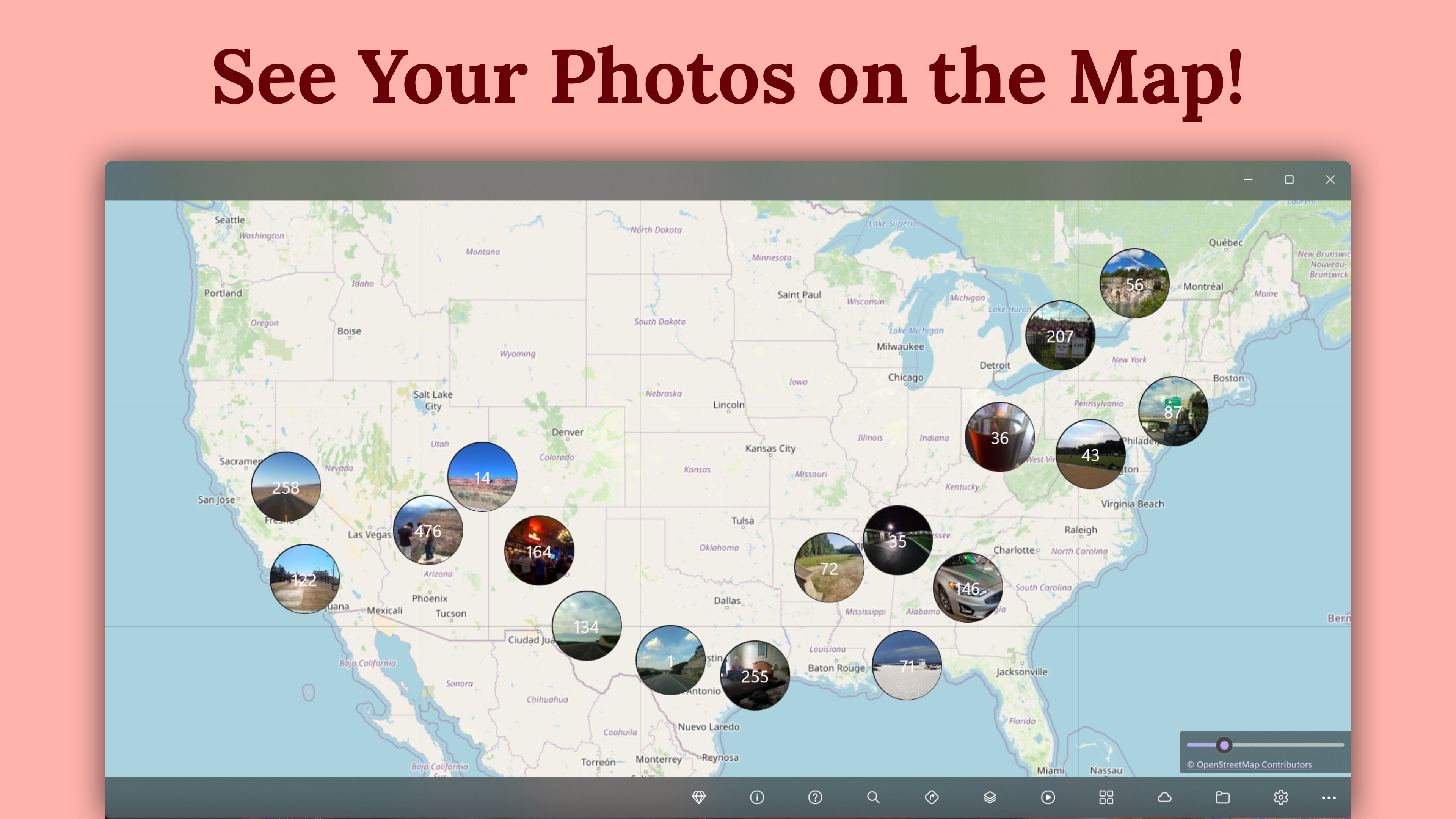
Have you ever scrolled through thousands of travel photos or drone shots and struggled to remember exactly where a specific image was captured? Standard file folders organize media by date, but they completely lose the geographical context of our journeys. GeoPhoto - Photo Map & GPS Geotagging solves this common digital clutter problem by turning your local directories and OneDrive folders into a highly interactive, visual map workflow.
Map Your Media Collections Effortlessly
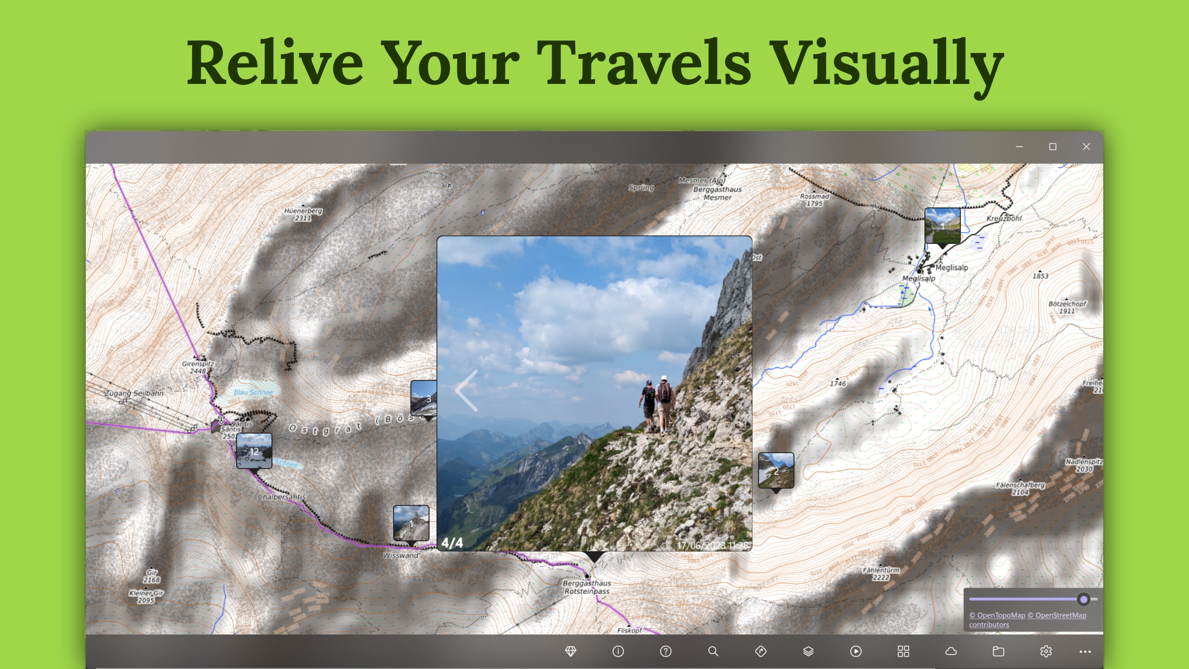
Developed by T. Partl for the Windows platform, this travel and local utility automatically scans your folders to find location metadata. It then plots your pictures and videos directly onto a global map. For dense shoots or highly active vacations, the software groups nearby media together, keeping your workspace clean and easy to navigate. You can also filter your collection by date, file type, or specific media formats to find exactly what you are looking for.
Take Control of Your GPS Metadata
One of the standout aspects of GeoPhoto - Photo Map & GPS Geotagging is its robust editing suite. If your camera lacks a built-in GPS receiver, or if your drone recorded incorrect coordinates, you can easily rectify the data. Key metadata capabilities include:
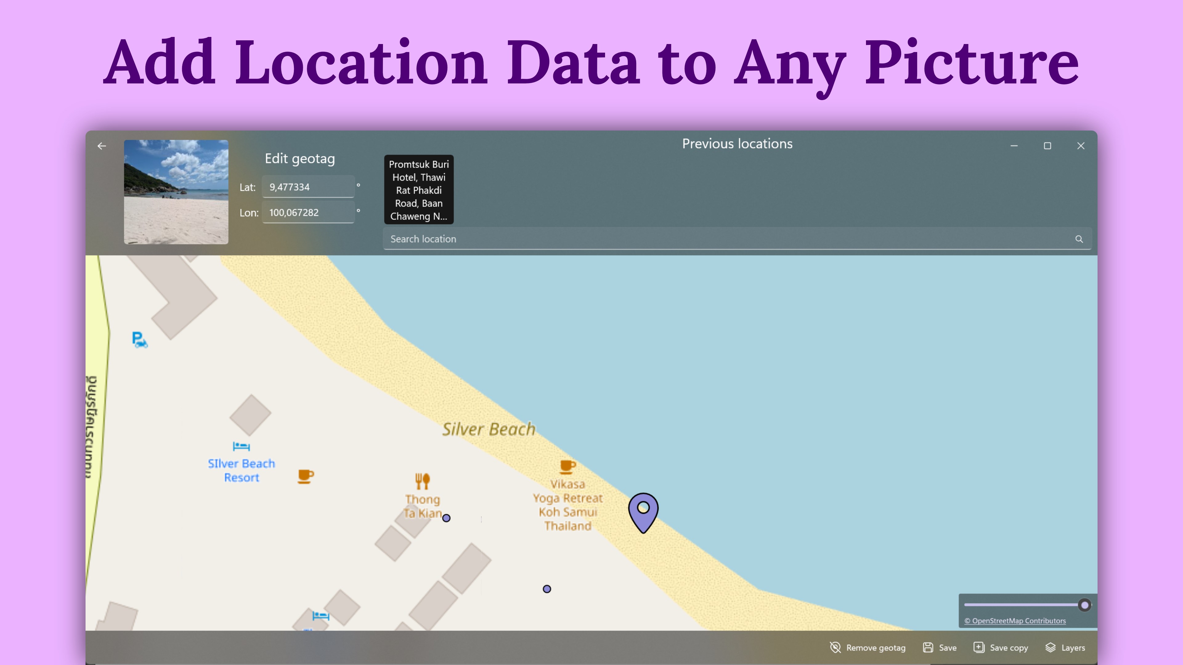
- Manual Geotagging: Add precise GPS coordinates by dropping a pin on the interactive map.
- Batch Correction: Edit, adjust, or completely strip location tags from your files.
- ExifTool Integration: Read and write GPS position metadata directly to file headers.
- Track Matching: Import GPX, KML, or KMZ files to automatically align timestamps with GPS tracks.
Broad Format Support for Enthusiasts and Professionals
Whether you are a casual smartphone photographer or a professional using raw formats, this software has you covered. It reads common image files like JPG, PNG, and HEIC, alongside professional RAW formats such as ARW, CR2, CR3, NEF, DNG, and video formats including MP4 and MOV. While the base application is free to use, users can upgrade to the Pro version or the SkyView subscription to unlock unlimited mapping, advanced track-based geotagging, and premium satellite map layers.
Is GeoPhoto Right for You?
If you need to organize years of travel archives, verify drone footage locations, or clean up camera imports on Windows, this tool provides an exceptional visual solution. To experience this interactive map workflow for yourself, head over to the official Microsoft Store to view the app details and get started.
Rate the App
User Reviews












Popular Apps










Editor's Choice