

Latest Version
Bjorn Holmstedt
Travel & Local
Windows
Free
9nblggh69ck8
Report a Problem
More About PoiViewer10
Managing custom location data can be a challenge, but the PoiViewer10 POI map viewer simplifies how you interact with geographical points of interest on your Windows device. Developed by Bjorn Holmstedt, this practical utility bridges the gap between raw spatial data files and visual, interactive mapping. Whether you are planning a detailed road trip, organizing field data, or archiving personal travel tracks, this application offers a robust, offline-capable environment to plot and manage your coordinates.
Seamless Point of Interest Visualization
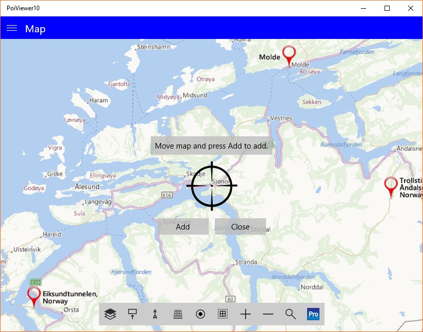
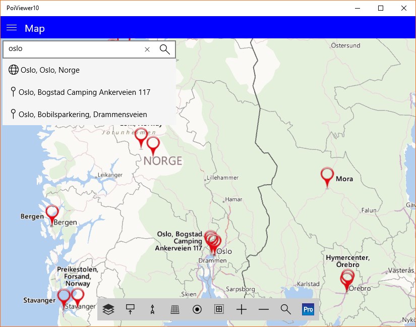
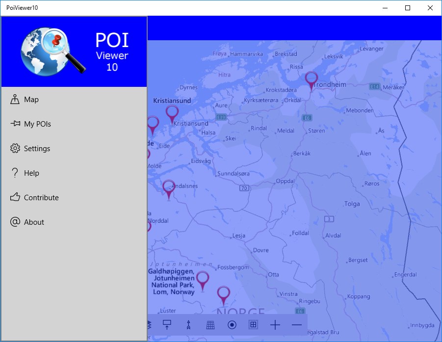
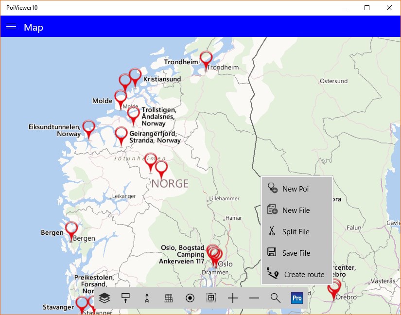
At its core, the PoiViewer10 POI map viewer is designed to import and display location datasets from various storage sources, including local disks, SD cards, email attachments, and web downloads. Once loaded, your custom points are plotted clearly on an interactive map. The application accommodates diverse map styles and color schemes, allowing you to customize the visual output to suit your environments. Thanks to integrated GPS capabilities, the software can track your position in real-time, providing continuous location updates as you move.
Broad File Format Compatibility
One of the strongest assets of this software is its extensive compatibility with industry-standard spatial formats. It easily processes:
- GPS Exchange Formats: .gpx (including Waypoints, Routes, and Tracks), .fit, and .tcx files.
- Google Earth & Maps: .kml and .kmz files, with support for embedded icons, placemarks, lines, and polygons.
- TomTom & Garmin: .ov2 and custom Garmin-compatible files.
- Generic Data: Standard structured text files in .csv format, with support for custom png and bmp icons.
Interactive Mapping and Tracking Tools
The application goes beyond simple viewing by offering interactive tools. Users can measure distances on the map directly—by drawing straight lines in the standard version, or following road networks with the Pro upgrade. If you want to log your journey, the built-in track recorder saves your movements directly to a local GPX file. Additionally, Windows Ink integration allows you to draw, annotate, and write notes directly onto your maps using a digital pen, touch, or a mouse, making it a highly collaborative tool for field planning.
Is the Pro Upgrade Worth It?
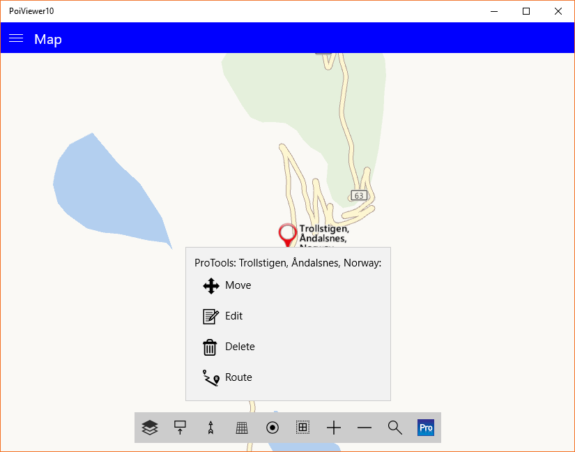
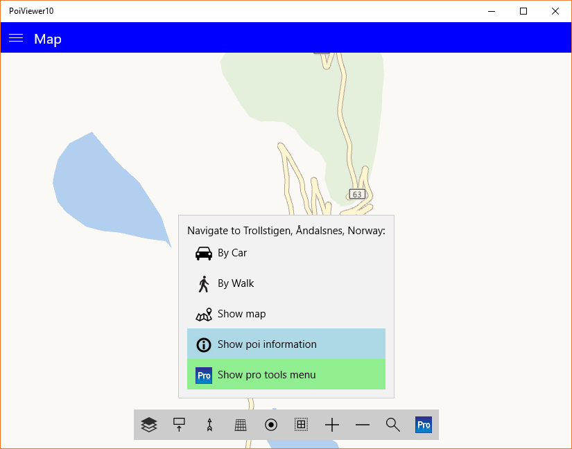
While the standard free version of the PoiViewer10 POI map viewer is highly capable, the in-app Pro upgrade unlocks advanced geographical editing tools. Pro users can generate complex routes between multiple loaded points of interest, add and edit POI names or descriptions on the fly, and split large datasets into smaller, organized files based on coordinate boundaries or naming conventions. It also enables full export capabilities, allowing you to save your modified datasets back to disk in KML, GPX, or OV2 formats.
Get Started with Your Maps
With its multilingual interface—supporting English, French, German, Swedish, Spanish, and Portuguese—and its offline mapping capabilities, this program is an excellent tool for travelers, logistics planners, and outdoor enthusiasts alike. To explore its features and start mapping your custom datasets, check out the official store page on the Microsoft Store.
Rate the App
User Reviews















Popular Apps










Editor's Choice